Our Story
AboutOur Team
We're a team of FAA-certified pilots, engineers, and cinematographers obsessed with precision aerial work. Since 2014, we've completed over 2,400 flights across all 50 states.
The Mission
Precision From Above,
Delivered With Purpose
Aerial Remote Imaging was founded on a simple belief: the perspective from above changes everything. What takes days on the ground can be captured in hours from the sky — with greater accuracy, less disruption, and results that speak for themselves.
We built our team around three non-negotiables: safety, precision, and cinematic quality. Every pilot we hire is FAA Part 107 certified. Every project gets a custom flight plan. Every deliverable is reviewed before it leaves our hands.
From single-property real estate shoots to multi-week infrastructure inspection campaigns, we bring the same level of discipline and craft to every altitude.
Company Timeline
Founded in Livermore, CA by Marcus Webb with a single DJI Phantom and a vision for precision aerial services.
Expanded to a 4-pilot team. First major infrastructure inspection contract with Caltrans.
Launched mapping & surveying division. Acquired first LiDAR sensor platform.
Reached 1,000 completed flights. Opened second operations base in Denver, CO.
Partnered with three major film studios for aerial cinematography. Team grew to 12 pilots.
Surpassed 2,400 flights across all 50 states. Launched thermal inspection division.
Leadership
Meet the Team
CEO & Founder
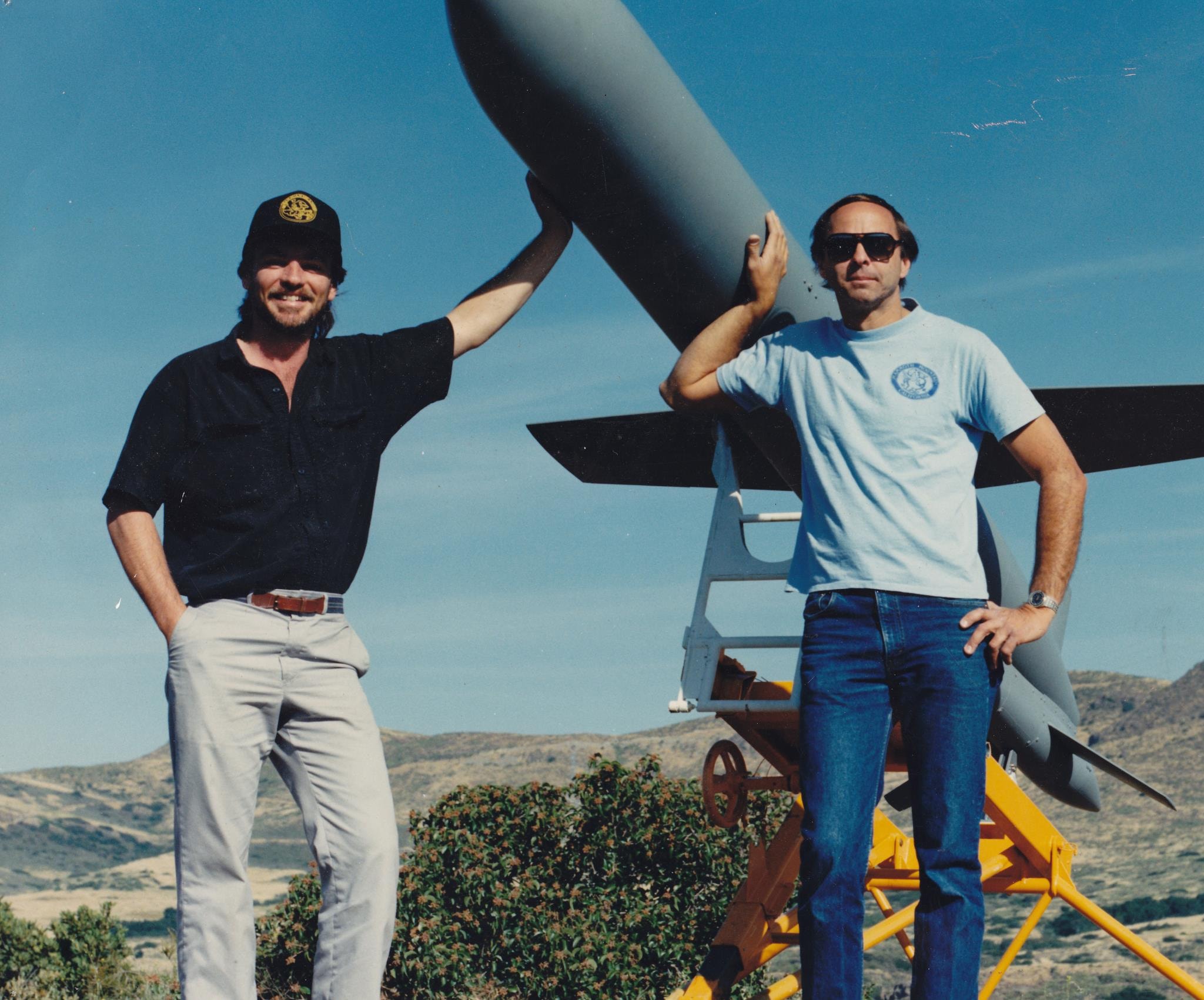
Robert Gorham
Robert Gorham is the founder and CEO of Aerial Remote Imaging, bringing decades of aviation and remote sensing experience to the company. His passion for aerial technology and precision imaging has driven ARI's growth into a nationwide leader in professional drone services.
Our Fleet
Professional-Grade Equipment
We invest in the best tools available so our clients receive the highest quality data and imagery on every flight.
Photography Platforms
- DJI Inspire 3 — Zenmuse X9 (50MP full-frame)
- Hasselblad L2D-20c (20MP)
- Phase One iXM-100 (100MP medium format)
Cinema & Video
- DJI Inspire 3 — Zenmuse X9-8K cinema
- RED Komodo 6K payload
- Sony FX6 gimbal rig (custom build)
Mapping & LiDAR
- DJI Matrice 350 RTK + P1 camera
- Velodyne VLP-16 LiDAR sensor
- MicaSense RedEdge-MX (multispectral)
Inspection Systems
- DJI Matrice 300 RTK + Zenmuse H20T (thermal)
- FLIR Vue Pro R thermal camera
- Elios 3 (confined space inspection)
Credentials
Certified & Compliant
FAA Part 107 Certified
All pilots hold current FAA Remote Pilot Certificates with instrument ratings.
AUVSI Member
Active member of the Association for Unmanned Vehicle Systems International.
COA Authorized
Certificate of Authorization for operations in controlled airspace nationwide.
Nationwide Coverage
Licensed to operate in all 50 states with established relationships with local ATC.
Work With Our Team
Ready to bring precision aerial expertise to your next project? Let's talk.